Skip to content
Verdavis – Forst · Agrar · Analytik
Menu
Drone footage and aerial imagery

S-01 · Air and remote sensing

Drone footage and aerial imagery

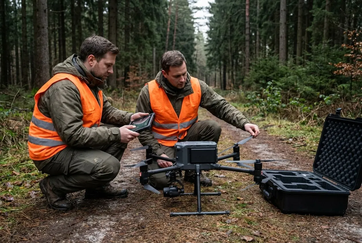
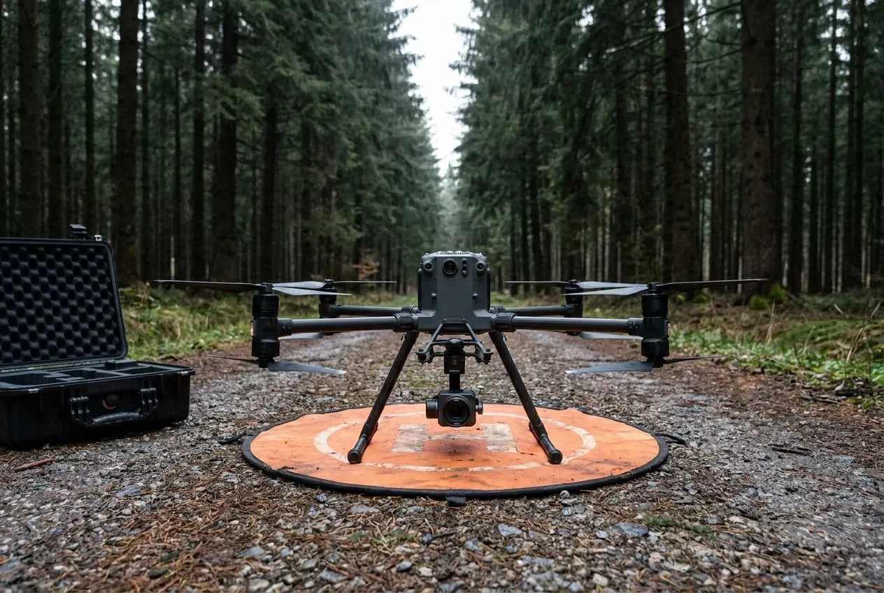
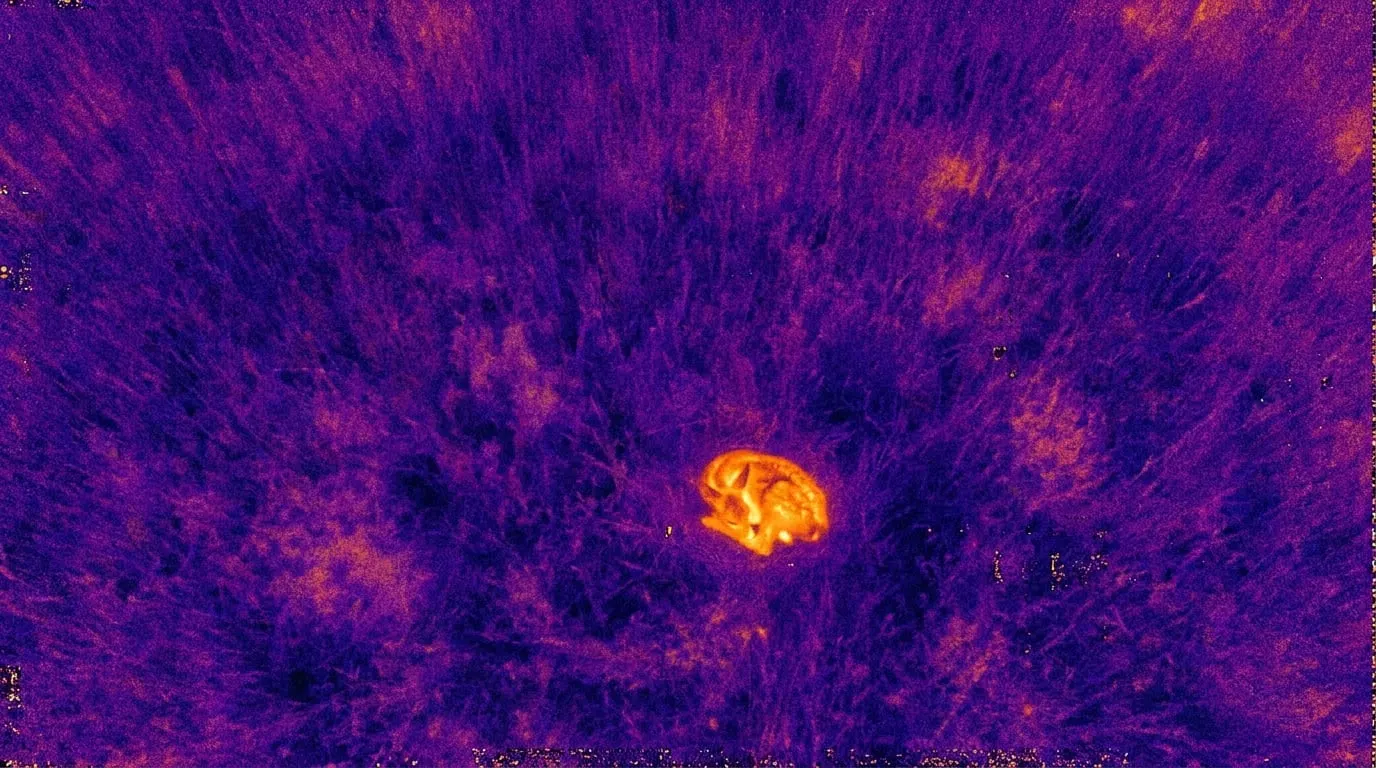
We survey forest and agricultural land with our own drones and our own remote pilots: the DJI Mavic 3 for aerial imagery and the DJI Mavic 3 Thermal for thermal imaging. Multispectral and LiDAR surveys are available on request through partners.

Scope

  • DJI Mavic 3: Hasselblad camera with 4/3 sensor
  • DJI Mavic 3 Thermal: thermal 640 × 512 pixels
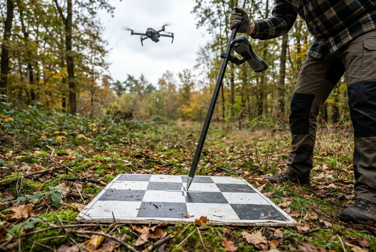
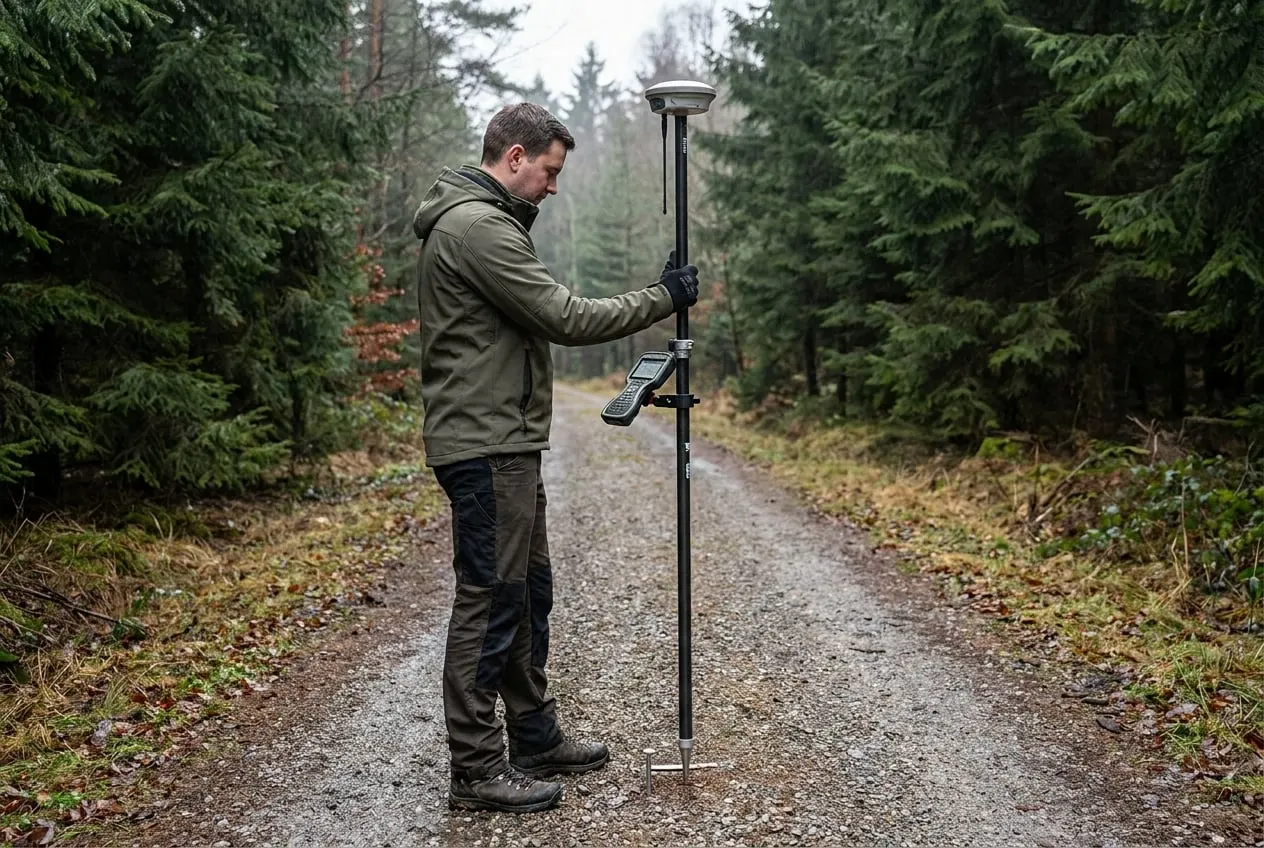
  • Control points surveyed by GNSS, ETRS89/UTM
  • Multispectral and LiDAR on request via partners

Typical applications

  • Overview maps for forest inventory and planning
  • Damage mapping after storms or drought
  • Repeat flights for time series

Deliverables

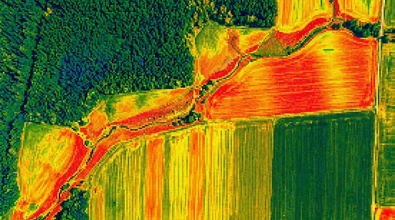
  • Orthomosaic as GeoTIFF in ETRS89/UTM
  • Thermal imagery with coordinates
  • Flight log and quality report
Drone footage and aerial imagery 1
Drone footage and aerial imagery 2
Drone footage and aerial imagery 3

Methodology

How we carry out this service.

01Before every deployment, our flight operations team at the Rhön field station checks the airspace, protected areas and obstacles and sets the flight lines in the planning software. Overlap, altitude and speed depend on the camera and the question. For orthomosaics we fly with high forward and side overlap so that canopies are captured without gaps.

02On the day of the flight, the remote pilots check the aircraft, camera and weather. For georeferencing, we lay out ground control points and survey them by GNSS. Additional check points that are not used in the calculation show the positional accuracy achieved, which we report in the quality report.

03Processing is carried out by our GIS team. The raw data are turned into orthomosaics in the ETRS89/UTM reference system. Every delivery undergoes a second check for data gaps, image errors and positional deviations before we hand it over to you digitally. Multispectral or LiDAR data from partners are checked and integrated using the same procedure.

Quality and accreditation

  • Remote pilots with EU certificates of competency
  • Flight operations under Implementing Regulation (EU) 2019/947
  • Positional accuracy verified at independent GNSS check points
  • Business liability insurance covering flight operations

Legal basis and permits

  • §Implementing Regulation (EU) 2019/947 on the operation of unmanned aircraft
  • §German Air Traffic Order (LuftVO) § 21h, geographical zones such as nature reserves
  • §Consent of the landowner for take-off, landing and survey flights

Deutschland EU Operating in Germany and the EU

Example assignments

e.g. 500 to 3,000 ha

Forest owners’ association, Rhön and eastern Hesse

Survey of the members’ land with the Mavic 3 as a basis for overview maps and damage mapping. Control points are surveyed by GNSS, and orthomosaics are delivered in the ETRS89/UTM reference system.
e.g. 100 to 1,000 ha of damaged area

Forest enterprise, Germany and Europe

Survey after a storm event to delineate the damaged areas. The map serves as a basis for salvage work and funding applications. Where required, we add LiDAR data for volume estimates through partners.

The examples show typical procedures for this service.

Frequently asked questions

Are drones allowed to fly over forests?

Yes, within the EU drone regulation and national air traffic rules. Protected areas, control zones and flights beyond visual line of sight require permits, which we obtain before the deployment.

How much area can a drone cover per day?

That depends on flight altitude, image overlap, weather and terrain. We will tell you the time required for your area once the flight has been planned.

What is the difference between LiDAR and multispectral?

LiDAR measures structure: tree heights, crowns and the terrain beneath the stand. Multispectral imagery measures reflectance in several wavelengths and indicates vitality and stress. We offer both on request through partners.

Enquire about this service

Tell us the area, location and time frame. You will receive an assessment within two working days.

Request a job →