Technology
Equipment, analysis and quality assurance
We use equipment that we maintain ourselves and check before each deployment. Checks and deployment conditions are documented so that imagery and findings remain traceable. The same requirements for testing and documentation apply to our detection dogs.
Equipment
Drones and field equipment
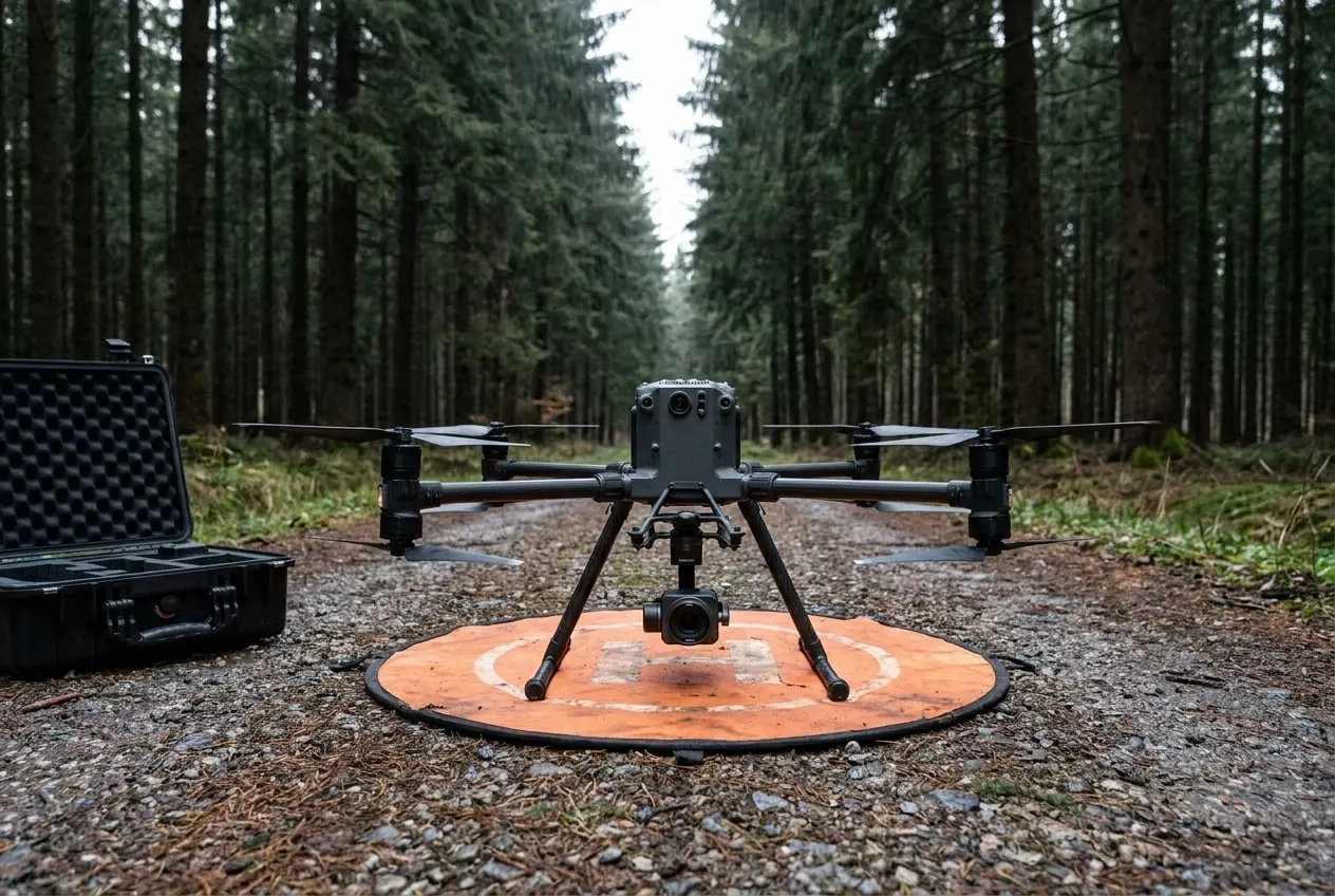
From the air we work with the DJI Mavic 3 and the DJI Mavic 3 Thermal. Flights are carried out by remote pilots holding EU certificates of competency, and flight operations follow Implementing Regulation (EU) 2019/947. Airspace checks and coordination with landowners and land managers are part of every flight plan. Multispectral and LiDAR surveys are available on request through partners.
Quadcopter · aerial imagery
DJI Mavic 3
- — Hasselblad camera with 4/3 sensor, 20 MP
- — Flight time up to approx. 46 min (manufacturer data)
- — Orthophotos, overview and documentation imagery
Quadcopter · thermal
DJI Mavic 3 Thermal
- — Thermal camera 640 × 512 pixels
- — 48 MP wide-angle camera and tele camera with up to 56× hybrid zoom
- — Flight time up to approx. 45 min (manufacturer data)
Field surveying
GNSS receivers
- — Surveying of control points and find locations
- — ETRS89/UTM reference system
- — Export as GPX, GeoPackage and Shapefile
Trail cameras · monitoring
Camera traps
- — Day and night images with infrared
- — Location, orientation and settings recorded
- — Used with the landowner’s consent
Sensors
What we capture from the air
Aerial imagery
High-resolution imagery from the Hasselblad camera of the Mavic 3. The basis for orthophotos, overview imagery, damage mapping and the delineation of suspect areas.
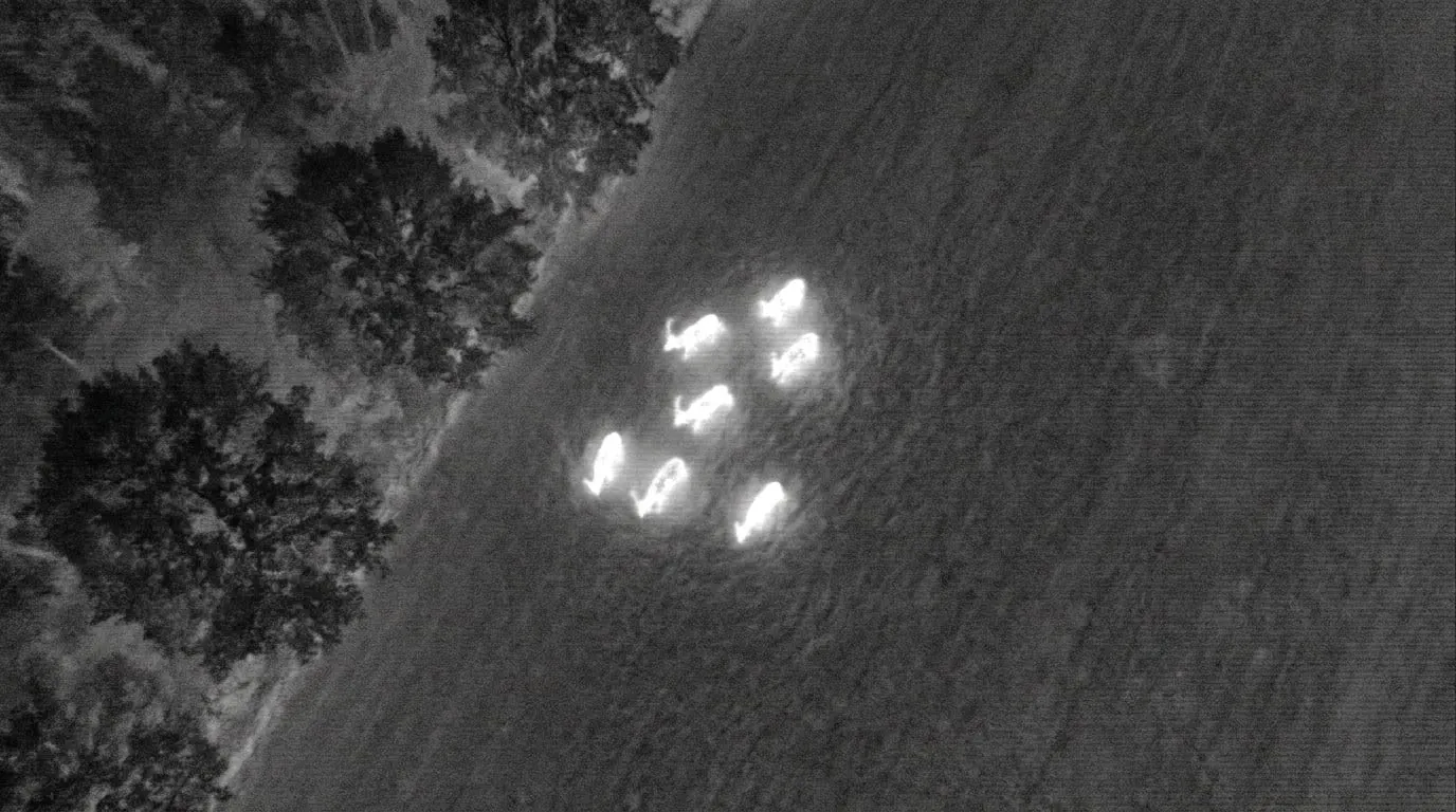
Thermal imaging
Thermal camera of the Mavic 3 Thermal at 640 × 512 pixels. Used for fawn rescue, to detect drought stress and, at dusk and at night, to locate wild animals and carcasses.
Multispectral and LiDAR
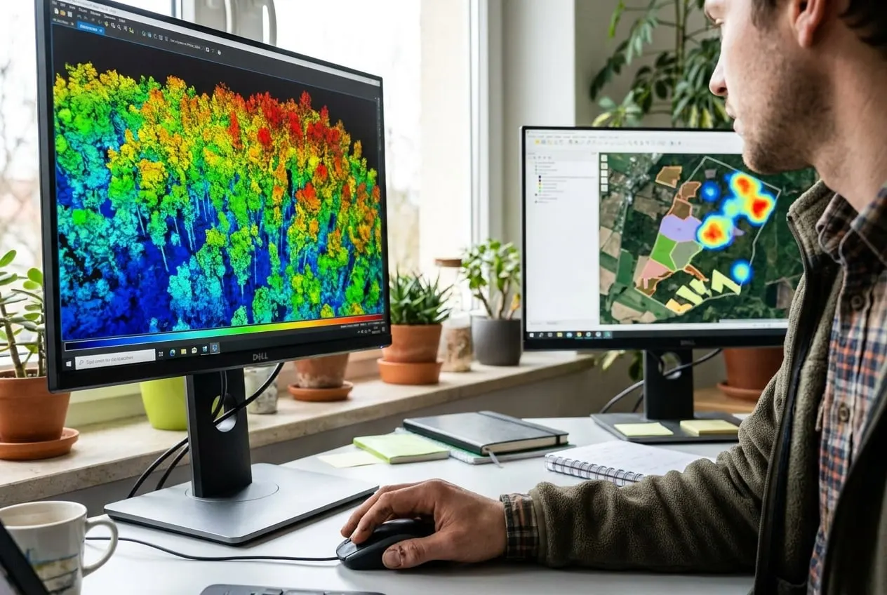
On request through partners: multispectral data for vitality indices and LiDAR point clouds for tree heights and terrain models. We handle planning, coordination and analysis.
Analysis
Analytical methods of our partner laboratories
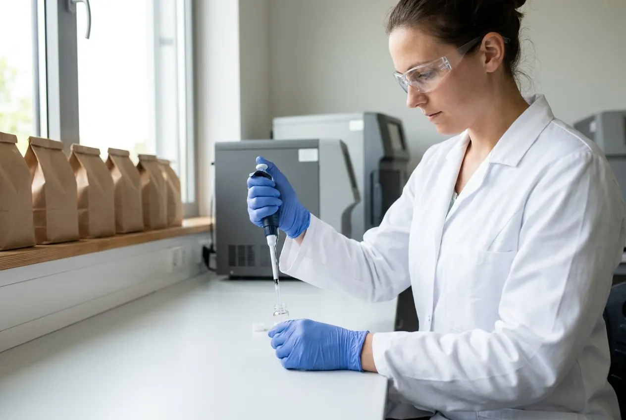
Each sample receives a unique identifier when it is taken, which accompanies it through to the test report. Analysis is carried out by our network of 13 partner laboratories in Europe, accredited to DIN EN ISO/IEC 17025.
- ICP-MS for heavy metals and trace elements
- GC-MS for pesticides and hydrocarbons
- LC-MS/MS for PFAS and polar residues
- C/N/S elemental analysis for nutrient balances
- Particle size distribution and pH for soil profiles
- Partner laboratories accredited to DIN EN ISO/IEC 17025
Detection dog unit
Training and quality assurance of the detection dogs
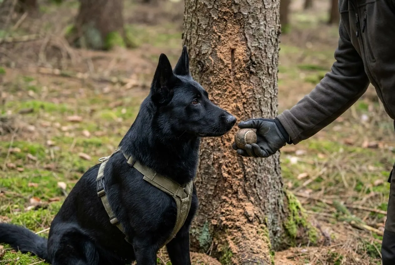
A detection dog is a search method, and we treat it like a measurement method: with defined training, regular testing and documented performance. Led by Belinda Gereke, the unit currently comprises two operational dogs, Havanna and Dina, and the young dog Apex in training.
QA-01
Training
Each dog is conditioned to a defined target odour group, for example the boring dust of the European spruce bark beetle and the six-toothed spruce bark beetle. Training to operational readiness usually takes more than a year.
QA-02
Blind tests
Each team regularly searches test courses in which neither the handler nor the accompanying assessor knows the hide locations. Hit rate and false indications are recorded.
QA-03
Operational clearance
A dog is only deployed if it has passed its most recent test. Young dogs initially accompany deployments only to become accustomed to them.
QA-04
Documentation
Every search is recorded as a GPS track with search duration, temperature and wind direction. Indications are located, photographed and entered in the find record.
QA-05
Working times and animal welfare
Search phases of 30 to 45 minutes followed by a break. In high temperatures, searches take place in the early morning only. The dogs receive regular veterinary check-ups.
QA-06
Competence
Dog handling is carried out with a certificate of competence under Section 11 of the German Animal Welfare Act.
Results
Digital delivery
We provide results and reports digitally: maps, find records and test reports in common formats that can be imported into your own systems.
- ✓Report as PDF with map annex
- ✓Geodata as GeoTIFF, GeoPackage, Shapefile and GPX
- ✓Find records with coordinates and photos