Skip to content
Verdavis – Forst · Agrar · Analytik
Menu
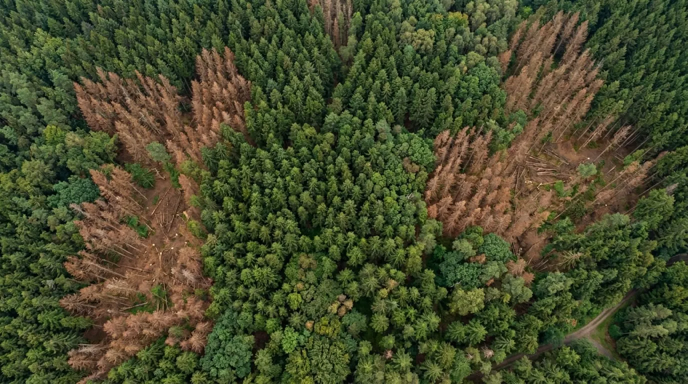
Aerial image of a spruce forest with dead trees

Deployment examples

Deployment examples

This is how typical deployments work with us. The examples describe usual workflows, clients and scales and are not reports on individual assignments.

Carcass searches during animal disease outbreaks with thermal drones and detection dogs
SpürhundeThermal

Carcass searches during animal disease outbreaks with thermal drones and detection dogs

In a restricted zone, for example after an outbreak of African swine fever, we fly the DJI Mavic 3 Thermal at dusk or at night to locate wild boar and fresh carcasses. By day, detection dog teams search the flagged areas as well as thickets and reed beds that cannot be seen from the air. Every find is located, documented and reported to the competent authority. Recovery and sampling follow the instructions of the authority.

Typical client
Veterinary office or district authority
Type
Example
Typical scope
e.g. 500 to 5,000 ha
Bark beetle monitoring with aerial surveys and boring-dust searches
LuftbildSpürhunde

Bark beetle monitoring with aerial surveys and boring-dust searches

From the first swarming flight, we survey spruce stands at intervals of a few weeks. The analysis narrows down suspect areas, which detection dog teams then check on the ground. Confirmed standing infestation is handed over to the district management with coordinates so that sanitation felling can be planned before the next beetle generation emerges.

Typical client
Forest owners’ association or forest enterprise
Type
Example
Typical scope
e.g. 500 to 3,000 ha
Contaminant monitoring in a water protection area
ProbenahmeWasser

Contaminant monitoring in a water protection area

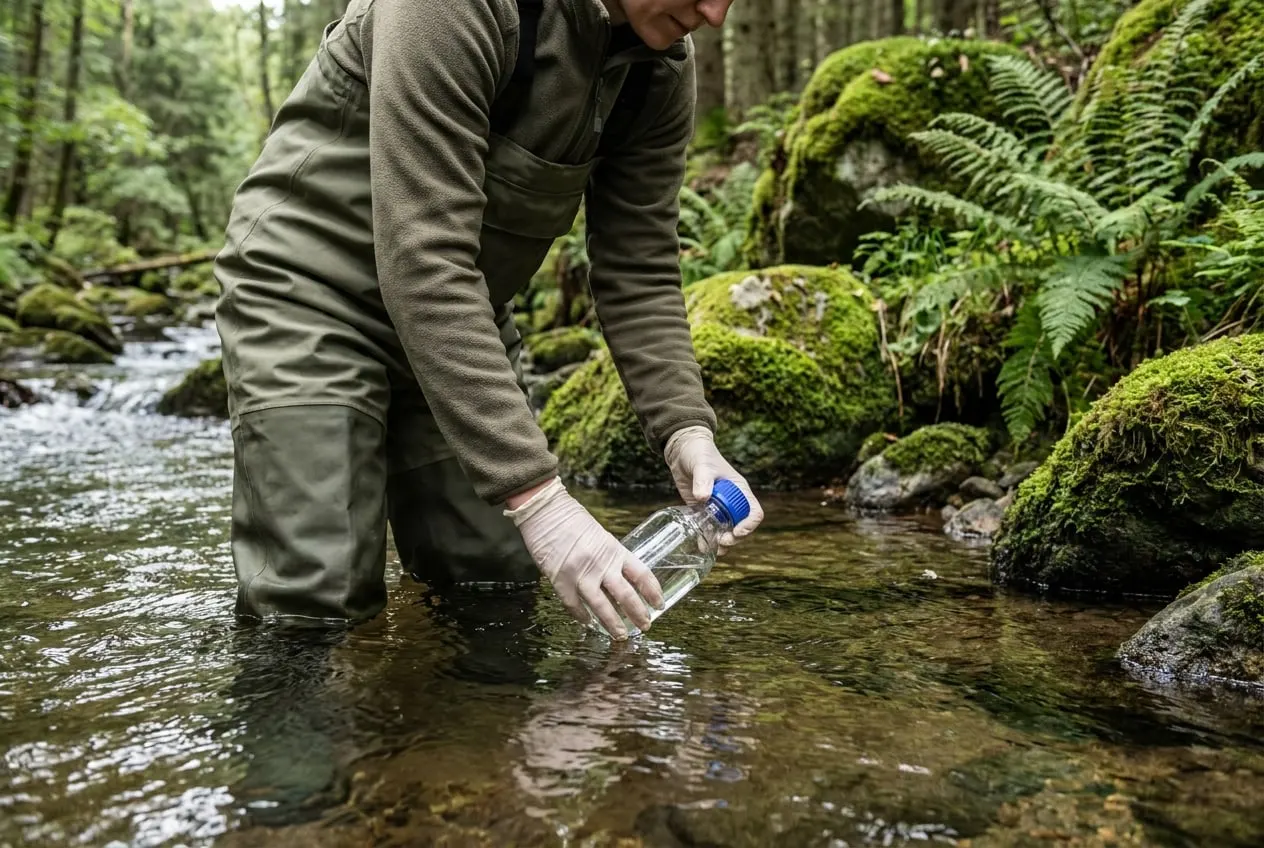
Our field teams sample topsoil and streams at defined sampling points at regular intervals. Samples are sent chilled and with an accompanying form to a suitable accredited partner laboratory. We compare the findings with regional background levels. Conspicuous sampling points form the basis for any further source investigation by the authority.

Typical client
District water or soil protection authority
Type
Example
Typical scope
e.g. 20 to 100 sampling points
Aerial-imagery-based forest inventory for private forest owners
LuftbildInventur

Aerial-imagery-based forest inventory for private forest owners

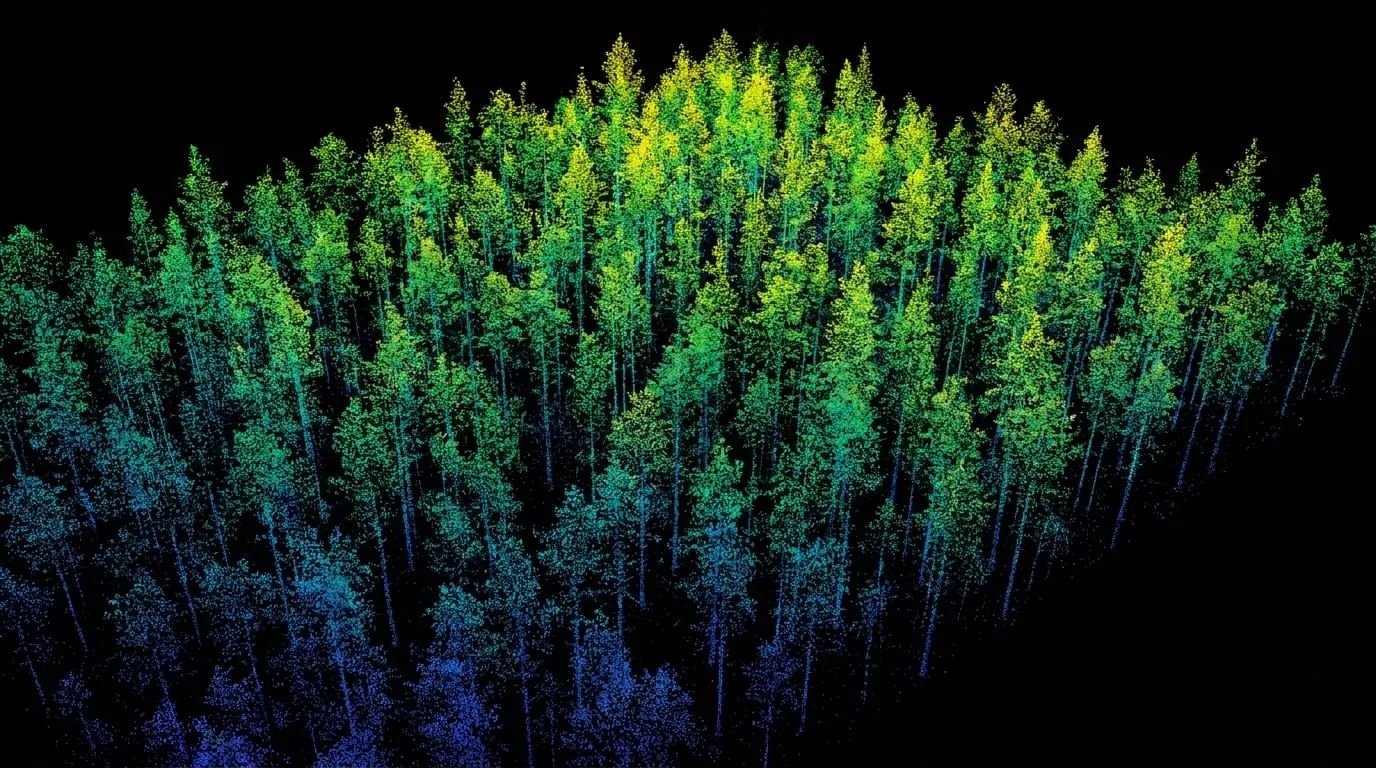
We survey the members’ land and cross-check the aerial analysis against ground sample plots. Where required, LiDAR data for tree heights and terrain models are obtained through partners. Typical outputs include species proportions, damaged areas and inputs for access road planning. On request, each owner receives an individual area report.

Typical client
Forest owners’ cooperative
Type
Example
Typical scope
e.g. 500 to 3,000 ha
Scat detection for wolf and lynx monitoring
SpürhundeArtenmonitoring

Scat detection for wolf and lynx monitoring

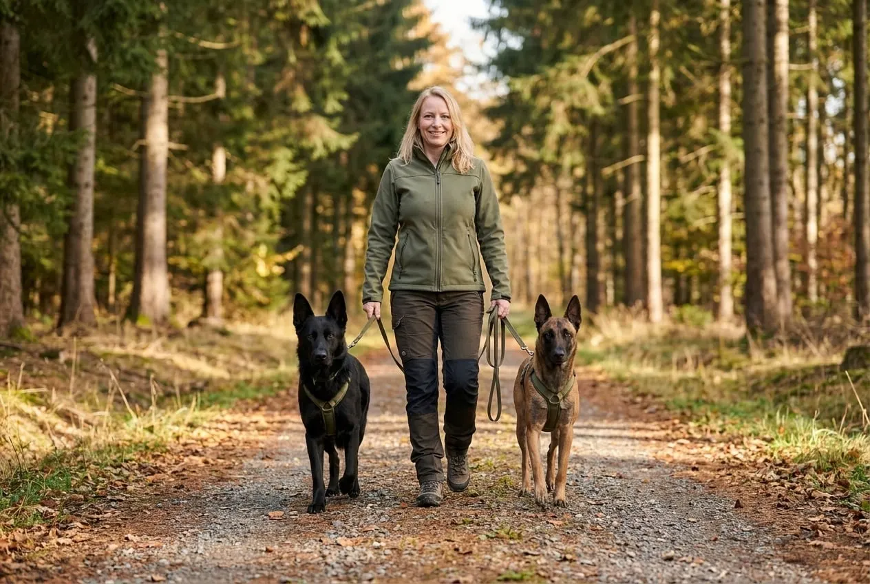
Detection dog teams search defined transects along forest roads and game trails. Scat found is sampled for genetic analysis according to protocol, kept cool and handed over to the commissioned specialist laboratory. Search routes, find locations and sample identifiers are fully documented.

Typical client
Nature conservation authority
Type
Example
Typical scope
e.g. 20 to 100 km of search routes
Drought stress mapping and damage documentation
AgrarThermal

Drought stress mapping and damage documentation

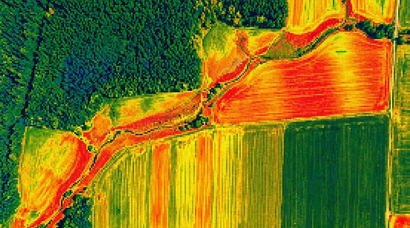
After dry spells or severe weather, we survey the affected fields with aerial and thermal cameras and cross-check the imagery against soil samples. This results in maps of the affected sub-areas and documentation with capture time and georeferencing that the farm, its advisers and insurers can follow. On request, we add multispectral data for prescription maps through partners.

Typical client
Farm or agricultural cooperative
Type
Example
Typical scope
e.g. 50 to 1,000 ha

Do you have a comparable question?

Send an enquiry →