e.g. 10 to 200 ha of meadows
Farmer or hunting tenant, Rhön, Fulda district, Main-Kinzig district
Fawn rescue in coordination with the farmer and the hunting tenant on the morning before mowing. Fawns found are kept safe until mowing is finished.
S-02 · Air and remote sensing
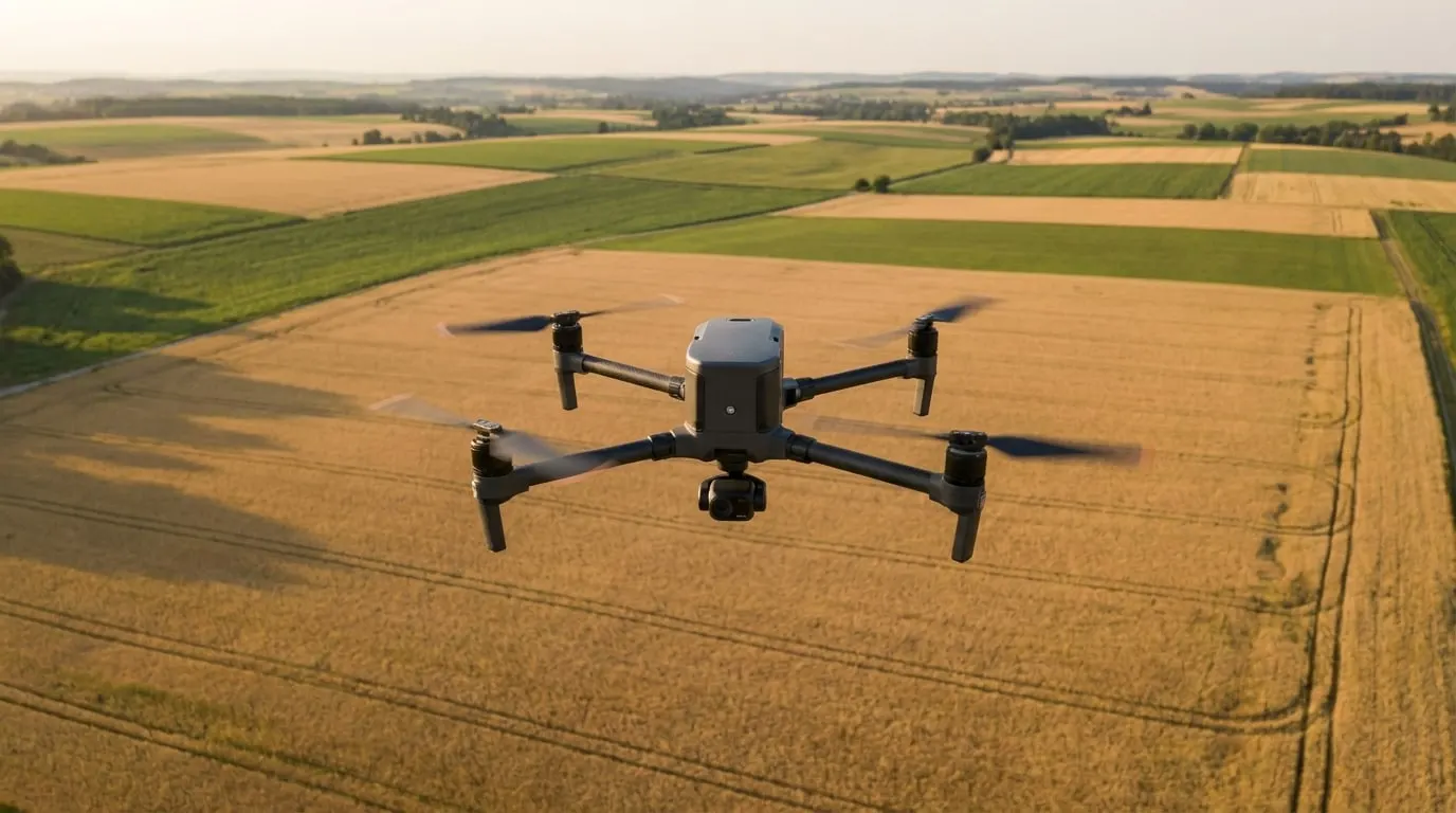
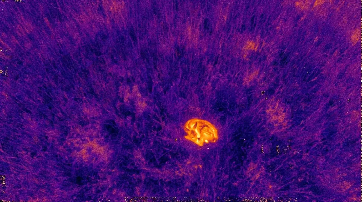
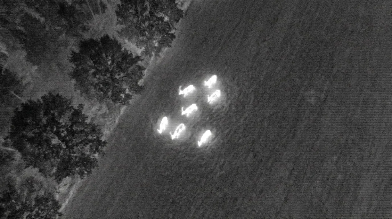
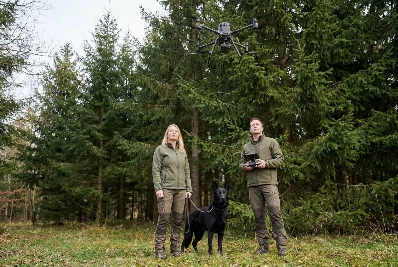
With the thermal camera of the DJI Mavic 3 Thermal, we detect wildlife and temperature differences in vegetation. Flights usually take place at dawn or at night, when the contrast with the ground is high.
How we carry out this service.
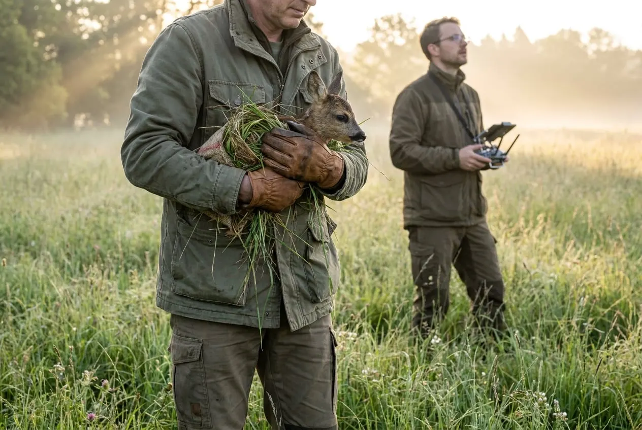
01Fawn rescue begins with agreeing the mowing date with the farmer and the hunting tenant. Flights start at sunrise while the ground is still cool. The Mavic 3 Thermal flies the meadow in strips at 40 to 60 m altitude, and a helper on the ground is guided by radio to each heat signature and checks it on site.
02For game counts, we fly at night along fixed transects and record the full radiometric video. Two analysts count the footage independently and identify the animals by species. They resolve any differences together. The report gives minimum counts with details of vegetation cover, temperature and visibility conditions.
03For drought stress, we measure the surface temperature of crowns and crops around midday, supplemented by air temperature and humidity from a weather station at the field edge. The thermal camera is checked against a reference emitter before every deployment, and the measured deviation is recorded in the flight log.
Operating in Germany and the EU
e.g. 10 to 200 ha of meadows
Farmer or hunting tenant, Rhön, Fulda district, Main-Kinzig district
Fawn rescue in coordination with the farmer and the hunting tenant on the morning before mowing. Fawns found are kept safe until mowing is finished.
e.g. 1,000 to 3,000 ha
Game management association, Rhön and eastern Hesse
Night-time thermal count of red and roe deer along fixed transects, usually in several sessions. The minimum counts can serve as a basis for cull planning.
The examples show typical procedures for this service.
Early in the morning before mowing, the meadow is flown with a thermal camera. Fawns found are carried off the field using gloves and grass and kept safe until mowing is finished.
Ideally before the fawning season starts in mid-April. We set the exact date at short notice with the farmer and the hunting tenant, based on the mowing date and the weather.
Yes, on open land and in open stands. Under a dense canopy the detection rate drops. We therefore report minimum counts together with the visibility conditions.
Tell us the area, location and time frame. You will receive an assessment within two working days.